remotes::install_github("xinzhuohkust/Geocoding")Geocoding R Package
R Package
Geocoding
An R package that provides geocoding, reverse geocoding, route planning, and advanced geographic visualization. Moreover, this package provides economic and social information such as nighttime lights and population based on geographic coding.
Overview
The Geocoding package provides functions for geocoding Chinese addresses.
The package is designed for researchers, analysts, and other users who need to work with Chinese address data.
![]()
Installation
Usage
geocoding
Geocoding::get_MCT("国家信访局") |>
Geocoding::convert_MCT()| longitude | latitude |
|---|---|
| 116.358 | 39.919 |
reverse geocoding
Geocoding::get_MCT("国家信访局") |>
Geocoding::get_admin_info(uid = TRUE)| district | city | province | uid |
|---|---|---|---|
| 西城区 | 北京市 | 北京市 | 871eebeac92224a8336212da |
train planning
Geocoding::train_plan(
  origin = Geocoding::get_MCT("安徽省六安市裕安区") |> Geocoding::convert_MCT(),
  destination = Geocoding::get_MCT("国家信访局") |> Geocoding::convert_MCT(),
  sleep = 0.5,
  ak = "your ak"
)| starting city | destination city | duration | price |
|---|---|---|---|
| 六安市 | 北京市 | 7.850 | 483.5 |
| 六安市 | 北京市 | 6.467 | 457.0 |
| 六安市 | 北京市 | 11.117 | 222.5 |
Visualization
ggplot2 integration
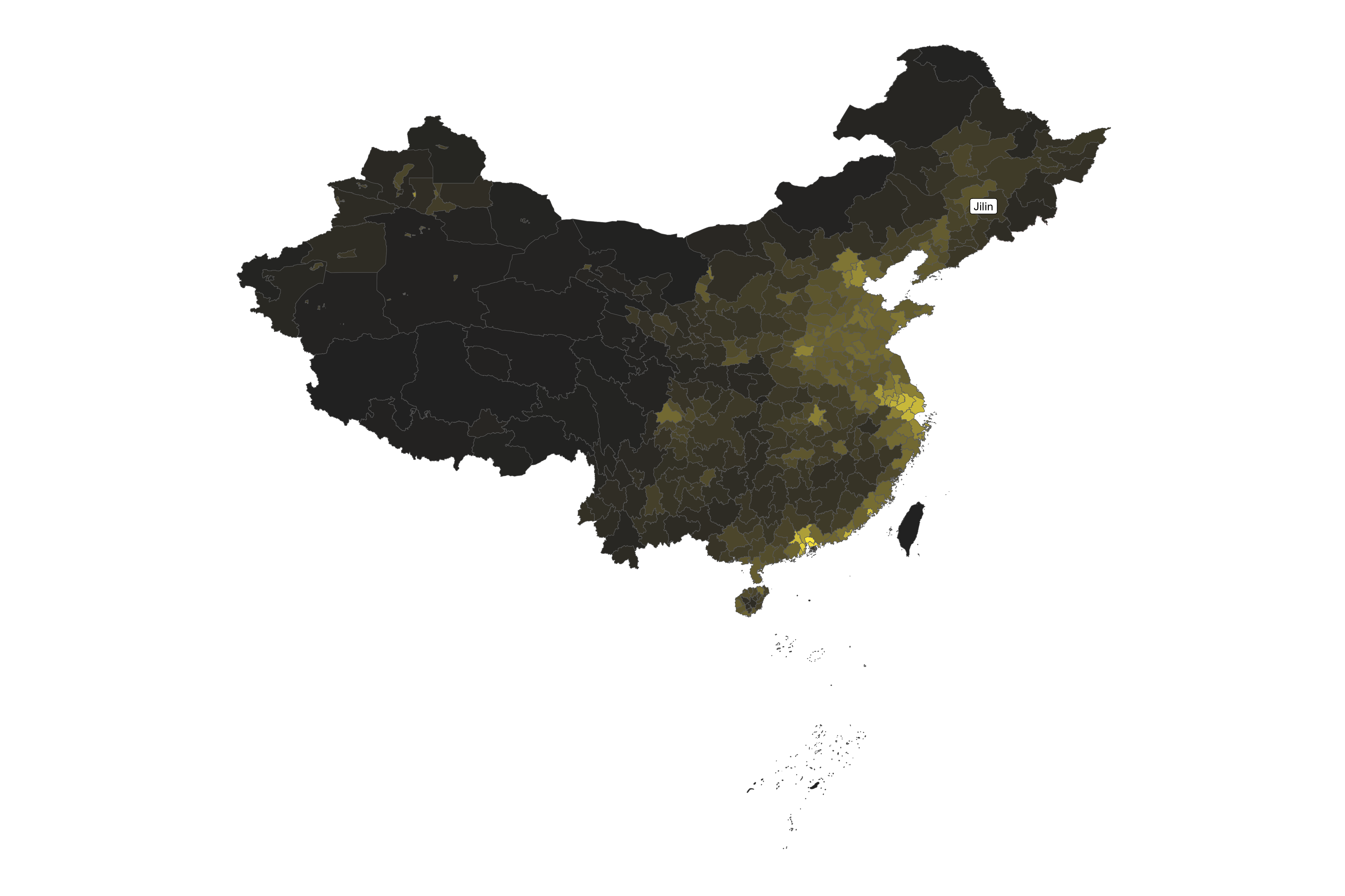
Geocoding::plot_geocoding(
  data = "night",
  label = "jilin",
  year = "2022"
)